Path of an Oil Spill
The Keystone pipeline would cross countless watersheds that drain into the Sheyenne River, Lake Ashtabula, and the Fordville Aquifer. When the pipeline leaks, the water will carry dangerous toxins into the river, aquifer, and lake. These pictures trace the course of one such waterway just south of Interstate 94. A leak is especially likely here because of the constant vibrations from traffic where the pipeline passes under I-94. Just on the other side of I-94, the pipeline would pass through a wetland where water flows constantly towards the Sheyenne.
|
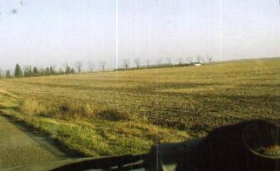
1. The watershed begins at the
top of the moraine, or gravel ridge, where the Infinity wind turbine is
located. Here it crosses the Peak Road through a culvert. |
2. The watershed passes east to
west through this prime farming field. Unfortunately, the pipeline would go
through this field – from north to south. |
|
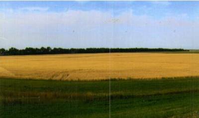
3. The oil would travel in
rainwater or spring runoff along this watercourse, here viewed from 120th
Ave. SE, looking east towards the field in the previous picture. |
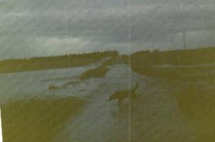
4. Water passes along this waterway so rapidly that it sometimes overwhelms the two culverts and washes out the north/south township road! This 1967 photo shows it running over the top of the road. |
|
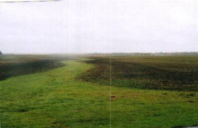
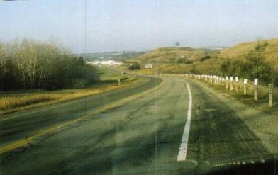
5. The water continues downhill along this road towards Valley City and the Sheyenne. The slope is about 200 feet over three miles. |
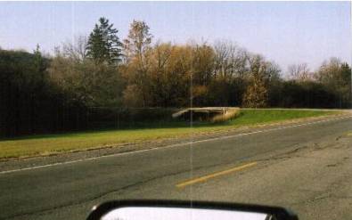
6. The water passes under this little bridge near Valley City. When the pipeline leaks, this water will be carrying toxins from the tar – probably including mercury, arsenic, and powerful carcinogens. |
|
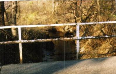
7. The water from the watershed, now a creek, goes under this bridge 1/8 mile from the Sheyenne. |
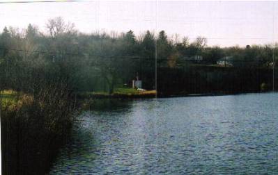
8. Looking north from the Rainbow Bridge: the mouth of the stream, where the poisonous water would enter the Sheyenne. |